
North Carolina Maps
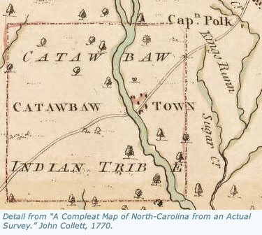
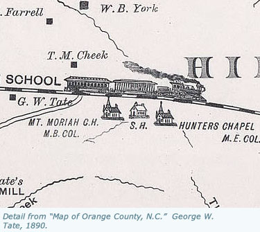
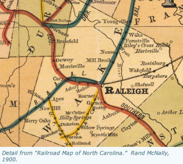
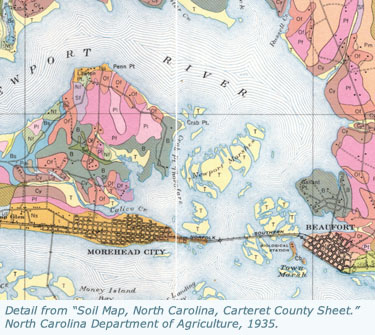
North Carolina Maps is a comprehensive, online collection of historic maps of the Tar Heel State. Featuring maps from three of the state's largest map collections -- the State Archives of North Carolina, the North Carolina Collection at UNC-Chapel Hill, and the Outer Banks History Center -- North Carolina Maps provides an unprecedented level of access to these materials. North Carolina Maps contains more than 3,000 maps, ranging in date from the late 1500s to 2000, and including detailed maps for each of North Carolina's one hundred counties.
North Carolina Maps is made possible by the Institute of Museum and Library Services under the provisions of the Library Services and Technology Act as administered by the State Library of North Carolina.